
Image retrieved from: http://media.tumblr.com/tumblr_m8uthghbey1qm4rc3.jpg
Throughout history and to the present day, maps have been used as a representation of reality, and have both mirrored and shaped how we see the world (Kuttainen, 2015). Many of us are familiar with Mercator's map; a map of the world charted on a flat surface, which displays the size of each country in proportionate to one another (Abrams, Kaiser and Wood, 2001). Initially, this map was rarely used because it was considered an inaccurate reflection of the world, however as this map was redesigned, it became a useful tool for nautical navigation, and due to its physical nature, enabled seamen to draw their line of route with a straight line (Abrams et al. 2001). This idea of ‘truth’, demonstrates how the accuracy of a map is determined by circumstance and purpose (Abrams et al. 2001).
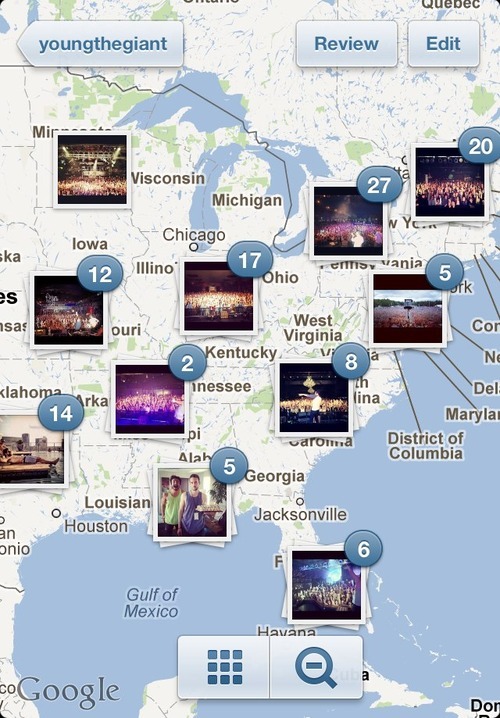
But how do maps relate to our favourite app Instagram? Well, the cyberspace is considered an “alternate geographical space” (Barnes, 1997) which gives us the ability to venture into an endless and boundless world. With no restrictions of time or space, we can create our own map of where we've been, and where we are going to go. Social networks, or more particularly Instagram, possesses two methods of navigation: one is the search tab which allows its users to filter their searches with usertags or hashtags in order to find their way through photos of endless variety; the second is more of a user-based method in which Intagrammers can record their current location when making a post. For example, in my feed, I have a photo of a snowy building in which I captioned and tagged, “Snowy Mountains, Australia” compared to a photograph I took at home of my incense burner on my windowsill, which gives the viewer a hint of my location.
Despite the capabilities we have in the cyberspace to look for and locate photos or videos, we are unable to control the content which other users choose to post. Instagram does not restrict us to what we tag in our photos, and while it is common for Instagrammers to put fifty-odd random tags in the photos, their is no guessing what content we may come across. So is the Instagram navigation system accurate in its purpose? Probably. But is it accurate representation of the content a user may be looking for? Probably not.
References
Abrams, B., Kaiser, W. L. and Wood, D. (2001). Seeing Through Maps: Many ways to see the world. Amherst, MA: New Internationalist Publications.
Barnes, G. (1997). Passage of the Cyber-Flaneur. Retrieved from: http://www.raynbird.com/essays/Passage_Flaneur.html
Kuttainen, V. (2015). BA1002 Our Space: Networks, Narratives and the Making of Place. Lecture 4: Maps. Retrieved from: https://learnjcu.edu.au
No comments:
Post a Comment
Note: only a member of this blog may post a comment.